BACKGROUND ON
MAPUNGUBWE
CULTURAL LANDSCAPE
National Heritage Site declaration: 28 June 2002
Inscription as a World Heritage Site: 2003
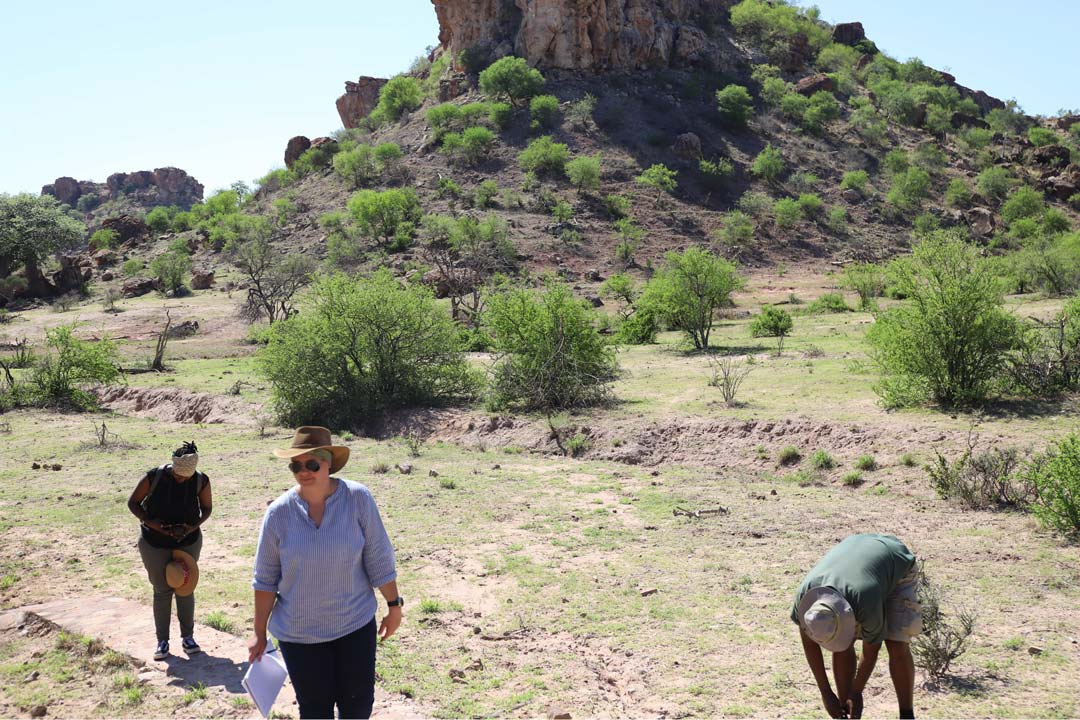
The Mapungubwe Cultural Landscape is another one of South Africa’s World Heritage sites and gives us a picture of the rise and fall of the first indigenous kingdom in the sub-continent. The site is situated on the fertile confluence of the Limpopo and Shashe Rivers bordering South Africa, Botswana and Zimbabwe.
Social, economic and political changes took place here between AD900 and AD1300 due to extensive, sophisticated trade networks and successful farming. The wealth this created led to the evolution of class distinction and the establishment of sacred leadership. These ideological and architectural shifts led to changes in settlement patterns with the Paramount Chief / King secluded in a palace on top of the hill, separated from commoners on the plains below.
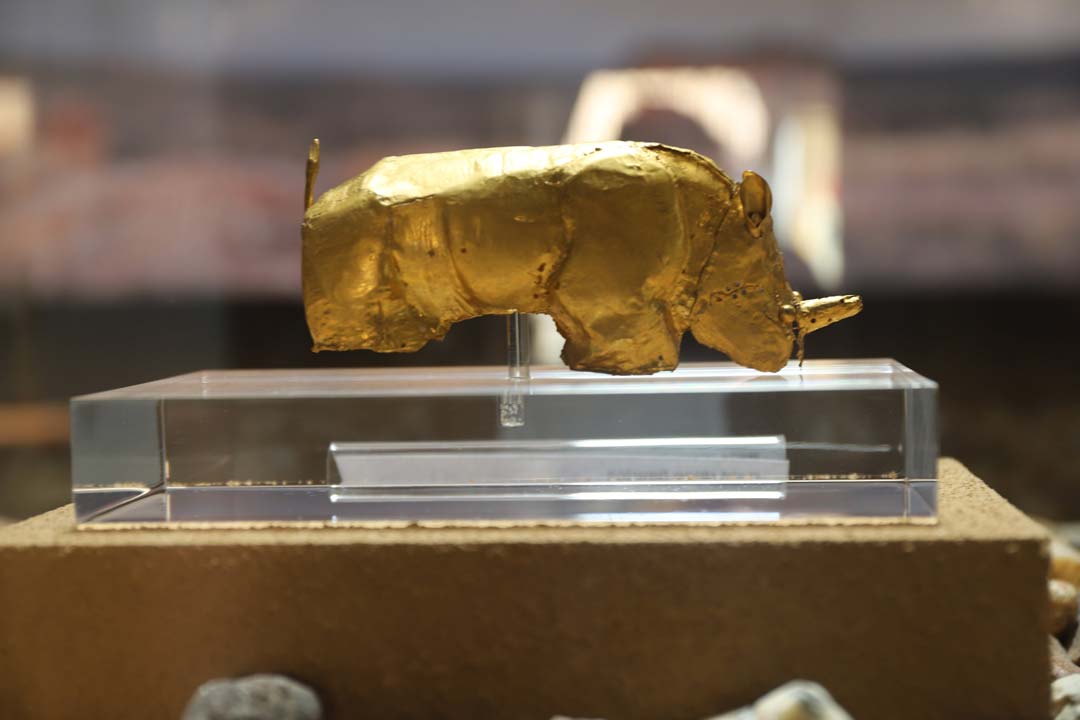
Due to the Mapungubwe’s location astride north/south and east/west trade routes, it was able to control trade with Arabia, India and China through the East African ports, as well as trade throughout Southern Africa. Gold and ivory were traded for salt, glass beads, cloth and Chinese porcelain.
The decline of Mapungubwe is thought to have been caused by climatic change. Around AD1300, a dry and cooler period began, and with the decrease in rainfall, the land was unable to support the large population and people began to disperse. An alternative theory associates the decline with a change in trade routes. Whatever the cause, the power base of Mapungubwe shifted to Great Zimbabwe.

